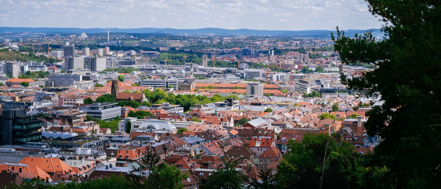
Aussichtspunkt Hasenberganlage
If you want to climb the viewpoint on the Hasenbergsteige, you will need a lot of stamina, as it is one of the highest elevations in the town.
The Hasenbergsteige was once the main route to Calw, along which wine was once grown. Starting at the Gänsepeterbrunnen fountain, the Hasenbergsteige initially leads to the saddle between Hasenberg and Karlshöhe. From there, it continues uphill, where you cross the Schwabtunnel and can later admire the impressive view of the Vogelsang valley and the north and east of the city from a viewing platform (Hasenbergsteige 50).
Incidentally, the "Blaue Weg" and Panoramaweg Süd-West also run along here.
Further up at the end of the climb, there is also a colorful sculpture park and the ruins of the Hasenberg Tower. However, the 36-metre-high tower fell victim to the Second World War in 1943. It was blown up for strategic reasons in order to prevent enemy air raids. Today, the five-metre-high stocking is hidden inconspicuously in the forest.
Fun fact: The origin of the name Hasenberg is not scientifically proven. The name first appears in documents in 1334 in connection with viticulture. It is possible that the name refers to the fact that there used to be a large number of long-eared animals on the Hasenberg.

