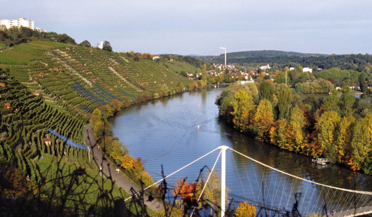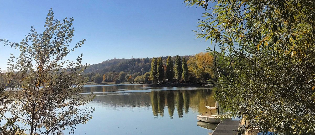
Lake Max-Eyth, © Stuttgart-Marketing GmbH

Weinwanderweg Bad Cannstatt: Vom Max-Eyth-See nach Steinhaldenfeld

Wanderung - Wanderweg
Level
Duration
2:00 h
Distance
8.21 km
Ascent
100 m
Decent
100 m
Get to know the best growing regions and their finest wines on a hike along the Bad Cannstatt wine trail.

Please accept the use of all cookies to view the content of this site.

Accept all cookies
Filter results
Filter results
Show List
Show List
Show Map

loading

Discoveries along the tour

loading

Stuttgart

Bad Cannstatt old town centre

Your StuttCard Bonus

Free admission

Architekture
Double room, © attimo Hotel Stuttgart
Stuttgart

attimo Hotel Stuttgart

Your StuttCard Bonus

Free admission

Hotels
Stuttgart

Auquellbrunnen

Your StuttCard Bonus

Free admission

Place of interest
d2a8036d-9962-49b7-ab18-facccd21b9c1l0001-photo-web, © Aussicht auf den Neckar und die Weinberge
Stuttgart

Aussichtsplattform Muckensturm

Your StuttCard Bonus

Free admission

Lookouts
Burgholzhof observation tower Stuttgart, © SMG, Achim Mende

TopStop CityTour

Stuttgart

Burgholzhof Stuttgart

Your StuttCard Bonus

Free admission

Architekture
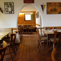
Besen Nerz_c Besenwirtschaft Familie Nerz, © Besenwirtschaft Familie Nerz
Stuttgart

Besenwirtschaft Familie Nerz

Your StuttCard Bonus

Free admission

Restaurants
Stuttgart

Brunnen 23-IbiswegKG Wasserspielpumpe

Your StuttCard Bonus

Free admission

Place of interest
Stuttgart

Brunnen A-Lämmle-Weg SP Schwegelpumpe 01

Your StuttCard Bonus

Free admission

Place of interest
Stuttgart

Brunnen Aachener Str. GA Mahlebrunnen 01

Your StuttCard Bonus

Free admission

Place of interest
Stuttgart

Brunnen Alois-Rölli-Platz SP Schwengelpumpe 01

Your StuttCard Bonus

Free admission

Place of interest
Stuttgart

Brunnen Arnoldstraße Belzbrunnen Quelle

Your StuttCard Bonus

Free admission

Place of interest
Stuttgart

Brunnen Neckartalstraße GA Auquelle

Your StuttCard Bonus

Free admission

Place of interest

Details

Recommended season
  • J
  • F
  • M
  • A
  • M
  • J
  • J
  • A
  • S
  • O
  • N
  • D
Duration
2:00 h
Distance
8.21 km
Ascent
100 m
Decent
100 m
Highest point
287 hm
Lowest point
219 hm
Condition
Technik
Landscape
Experience

Condition of the path

30 % unknown
18 % asphalt
15 % gravel path
37 % nature

Description

Route description
Lake Max-Eyth, © Stuttgart-Marketing GmbH
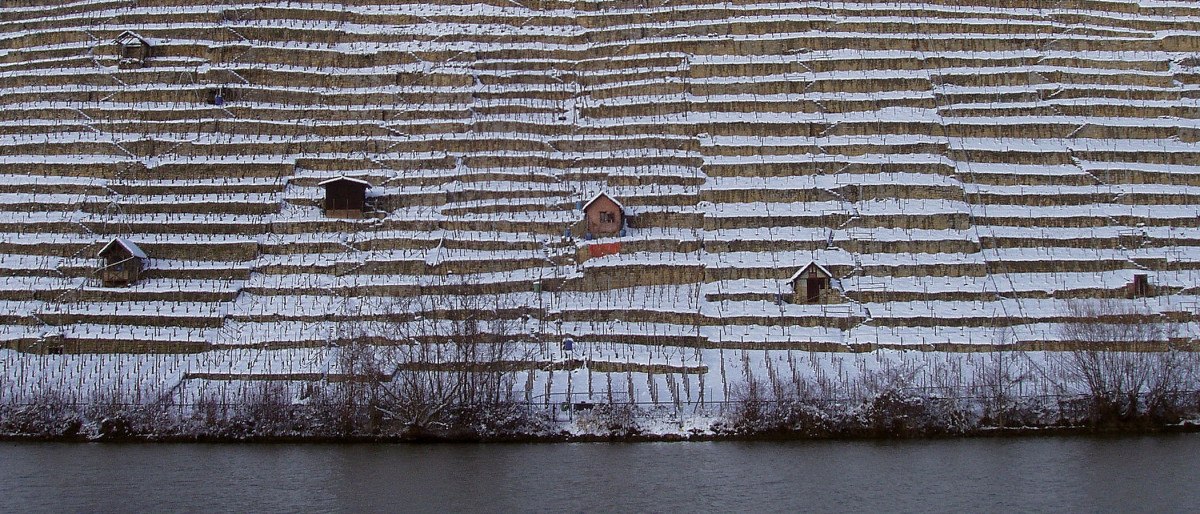
Steep slopes at the Cannstatter Zuckerle, © Stuttgart-Marketing GmbH
Vineyards in winter, © Stuttgart-Marketing GmbH
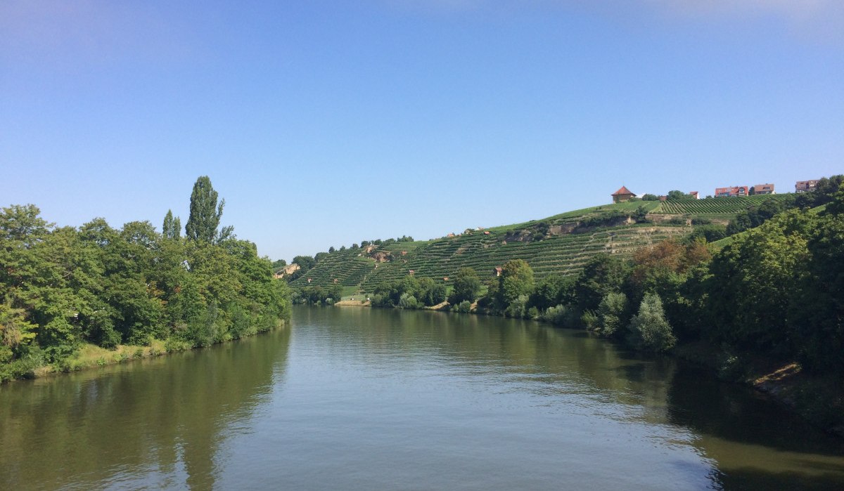
Neckar, © Stuttgart-Marketing GmbH
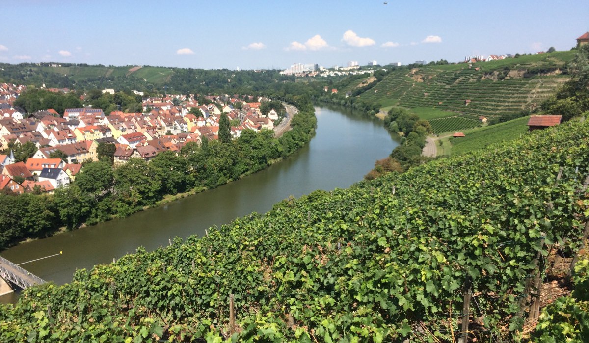
Steep slopes on the Neckar, © Stuttgart-Marketing GmbH
1 of 5
1 of 5
by Stuttgart-Marketing GmbH