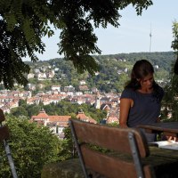
© Stuttgart-Marketing GmbH

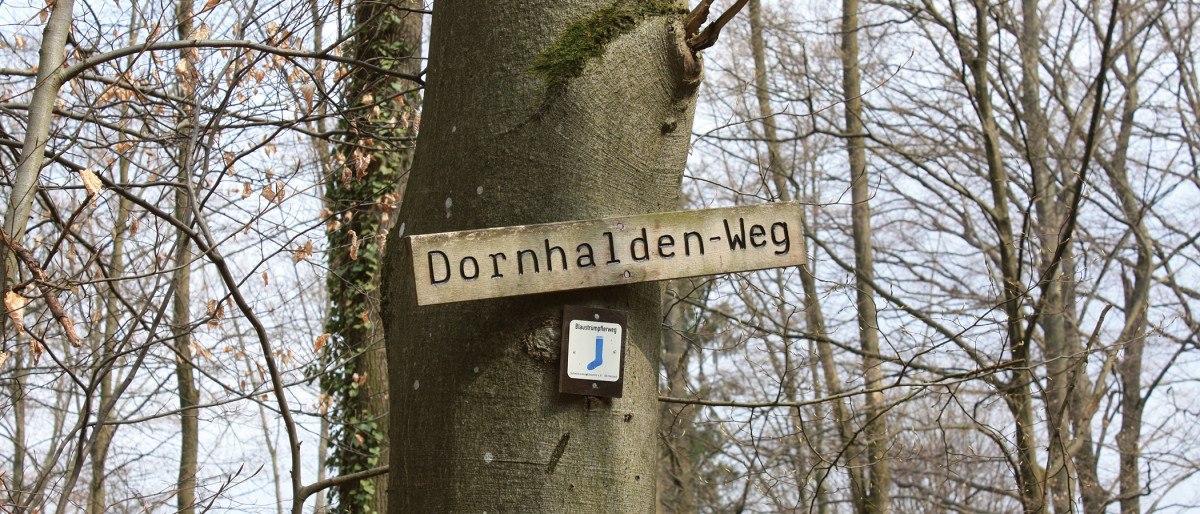
Weinwanderweg Degerloch mit Dornhaldenweg

Wanderung - Wanderweg
Level
Duration
1:30 h
Distance
6.46 km
Ascent
270 m
Decent
117 m
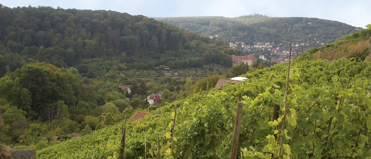
The Stuttgart wine trail from Marienplatz to Santiago-de-Chile-Platz will take you to Degerlocher Scharrenberg, one of the smallest single vineyards in Würrtemberg. Enjoy the peace and quiet of the idyllic Dornhalden cemetery, which you can visit on the additional route.

Please accept the use of all cookies to view the content of this site.

Accept all cookies
Filter results
Filter results
Show List
Show List
Show Map

loading

Discoveries along the tour

loading

Karlshöhe Stuttgart, © SMG

TopStop CityTour

Stuttgart

Karlshöhe (Karlshöhe Hill)

Your StuttCard Bonus

Free admission

Place of interest
Karlshöhe Stuttgart, © Thomas Niedermüller
Stuttgart

Karlshöhe

Your StuttCard Bonus

Free admission

Viewpoints
© Stuttgart-Marketing GmbH
Stuttgart

Karlsplatz Stuttgart

Your StuttCard Bonus

Free admission

Architekture
Buy yourself happy, © Kauf Dich Glücklich GmbH
Stuttgart

Kauf dich glücklich

Your StuttCard Bonus

Free admission

Fashion
Department store Mitte, © SMG Stuttgart Marketing GmbH - Sarah Schmid
Stuttgart

Kaufhaus Mitte

Your StuttCard Bonus

Free admission

Delicacy
20240612-Kesselglück4Stadtmarketing---Bild-2---16zu9---Eis, © kesselglueck.de
Stuttgart

Kesselglück - Eis und Schokolade

Your StuttCard Bonus

Free admission

Pubs & Cafés
Boiler goods, © Sarah Schmid
Stuttgart

Kesselgut

Your StuttCard Bonus

Free admission

Shopping
Kessler Champagne Bar, © Stuttgart-Marketing GmbH, wpsteinheisser
Stuttgart

Kessler Flagship-Store Stuttgart

Your StuttCard Bonus

Free admission

Pubs & Cafés
Stuttgart

Keyaki

Your StuttCard Bonus

Free admission

Restaurants
Stuttgart

Kicho

Your StuttCard Bonus

Free admission

Restaurants
Kickers Club Restaurant, © Kickers
Stuttgart

Rörich Gastronomie Kickers-Clubrestaurant

Your StuttCard Bonus

Free admission

Restaurants

Stuttgart

Kim’s So

Your StuttCard Bonus

Free admission

Restaurants

Details

Recommended season
  • J
  • F
  • M
  • A
  • M
  • J
  • J
  • A
  • S
  • O
  • N
  • D
Duration
1:30 h
Distance
6.46 km
Ascent
270 m
Decent
117 m
Highest point
432 hm
Lowest point
264 hm
Condition
Technik
Landscape
Experience

Condition of the path

100 % unknown

Description

Route description
© Stuttgart-Marketing GmbH
1 of 2
1 of 2
by Stuttgart-Marketing GmbH